As I’ve mentioned before, one of my obsessions is for maps, especially maps of cities. Maps and images of cities. Walled cities that exist into the modern era are especially fascinating to me. In most societies the conditions that forced people to defend themselves with walls (and for those walls to be successful as a defensive measure) have long gone. Walls can be breached with artillery, bypassed by cruise missiles, made insignificant by ICBMs, and made irrelevant by changes in economies and societies. However, there are still walled cities in the world, and some have even been revitalised (however briefly) by modern conditions.
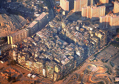
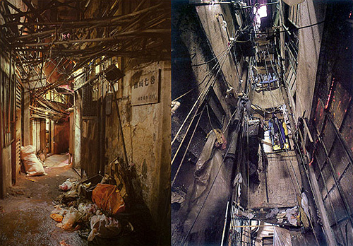
One such was Kowloon Walled City, a small patch of Hong Kong technically never in the British mandate, but never de facto controlled by the Chinese either. As a territory in limbo, it became an incredibly dense city, almost a single building, covering only 0.026 km² and at its peak apparently having a population as high as 350,000 people; though as a virtual anarchy detailed census figures naturally don’t exist. I wish that someone had been brave and resourceful enough to mount a survey of the city at its peak - the place was, as far as I can tell, unique in the modern world. Knowing more about it, how the societies within it interacted, how the buildings were modified over time, the nature of personal vs. public space and how the power structures (and their limits) altered over time would help with the study of our own increasingly dense societies.


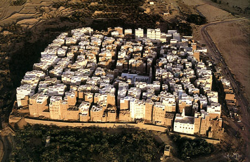
Looking at pictures of it, I’m reminded of these pictures of Shibam in Yemen. The structural similarity to Kowloon Walled City is remarkable:

