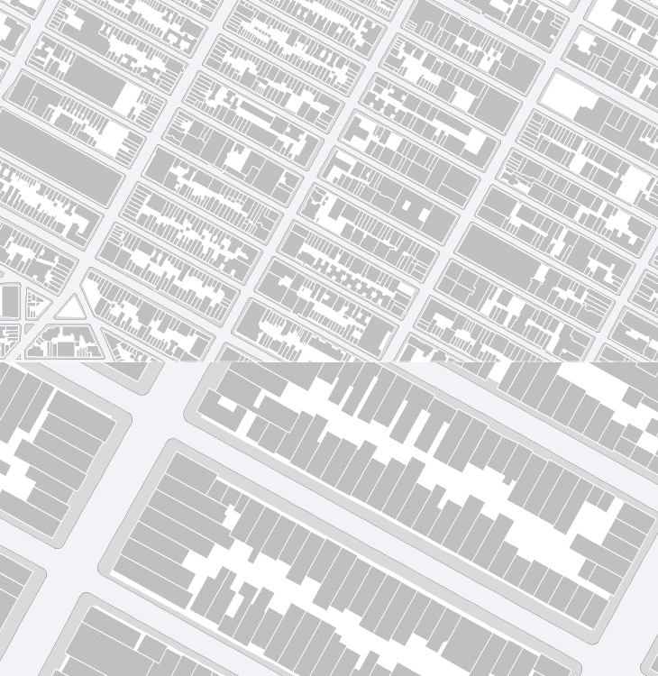
Now I really have been meaning to post about this for ages. So long in fact I really can’t remember where I found it. I don’t even have a link to it anymore and it’s only because it’s easily Googled* that I could find it again. As far as I understand it, OASIS is a map-based system for New Yorkers to see how open space is used in the city - the page about it describes this as enhancing the stewardship of said open space, whatever that means. Still, the new maps they’ve got are really quite lovely, and astonishingly detailed. I know our very own Ordnance Survey has maps this detailed, but the data is jealously guarded and even with recent changes in the right direction, detail at this level is not something for we mere taxpayers (who pay for it) to see and use without paying for it again. I hope the Ordnance Survey will see sense soon and we’ll see some fun applications with UK data like this.